Drone-Based Survey of Rivers for Drainage/Outfalls Mapping and Annotation: Guidance Note (PDF)
8.44 मेगा बाइट
डाउनलोड
Drone-Based Survey of Rivers for Drainage/Outfalls Mapping and Annotation: Guidance Note
2026
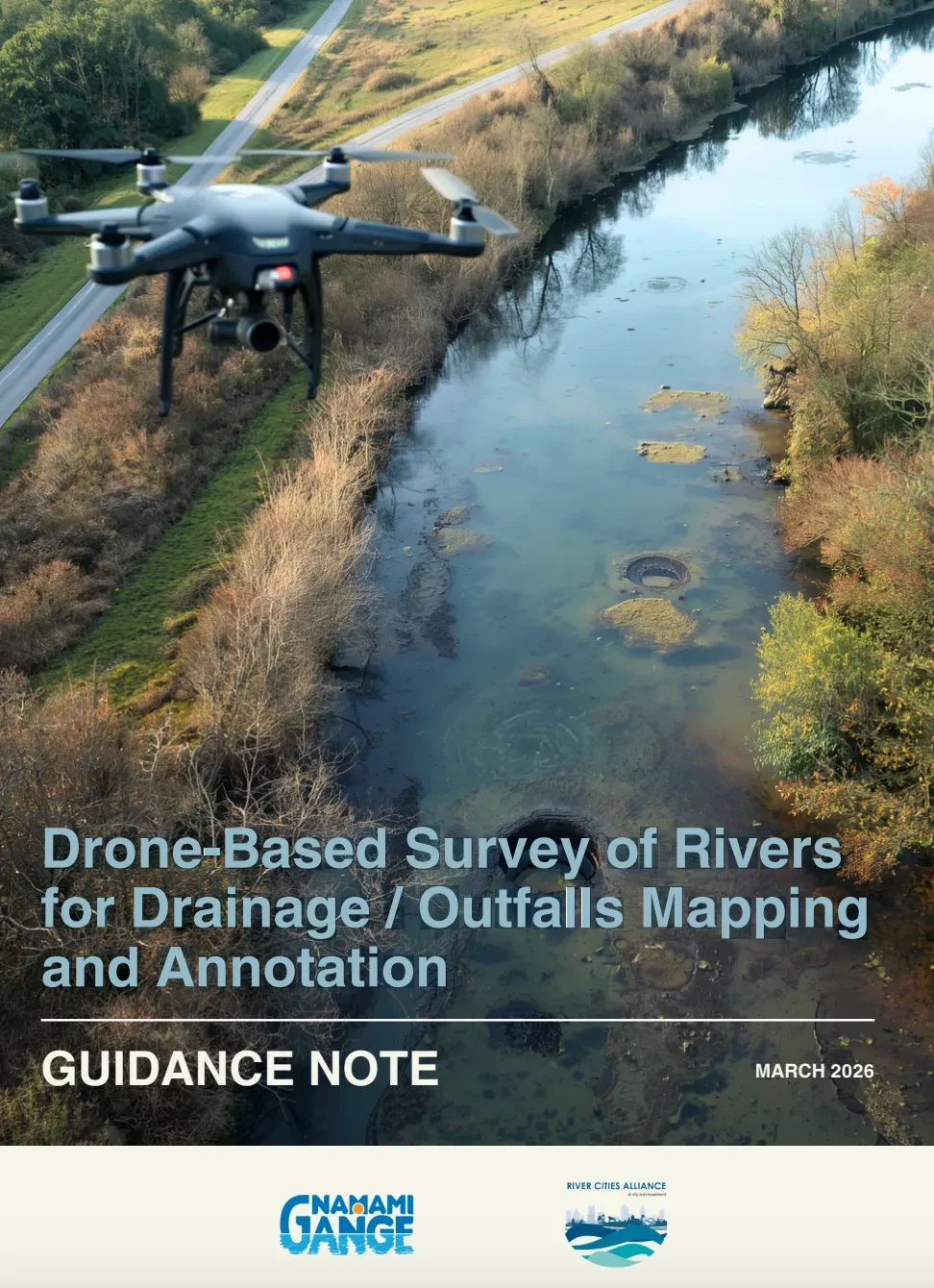
Knowing where pollution enters a river is the first step to stopping it. Yet for most cities, drainage outfalls remain unmapped and unmonitored. This Guidance Note is built on the learnings of a large-scale drone-based aerial survey of the Ganga, covering approximately 2,200 sq. km, which identified, geotagged, and mapped drains and outfalls discharging into the river, culminating in the development of a Drain Decision Support System (Drain DSS). Drawing from this experience, the Guidance Note prescribes standardised technical parameters for drone-based drainage surveys, from flight specifications and camera orientation to processing workflows that generate high-resolution geospatial output including ortho mosaic imagery, Digital Terrain Models, and GIS-based drainage layers. Designed as a practical reference for state and city agencies, datasets generated through this process are intended to feed into city and state-level Drain Dashboards and the national database maintained by the National Mission for Clean Ganga, to build a connected, evidence-based picture of river pollution sources across India.